
Hike maps
Maps for popular hiking areas around the Region, prepared by the Regional Commissioner (Activities). Select a map to open it full size, or download it to print. Files are high resolution, so allow time on a mobile connection.
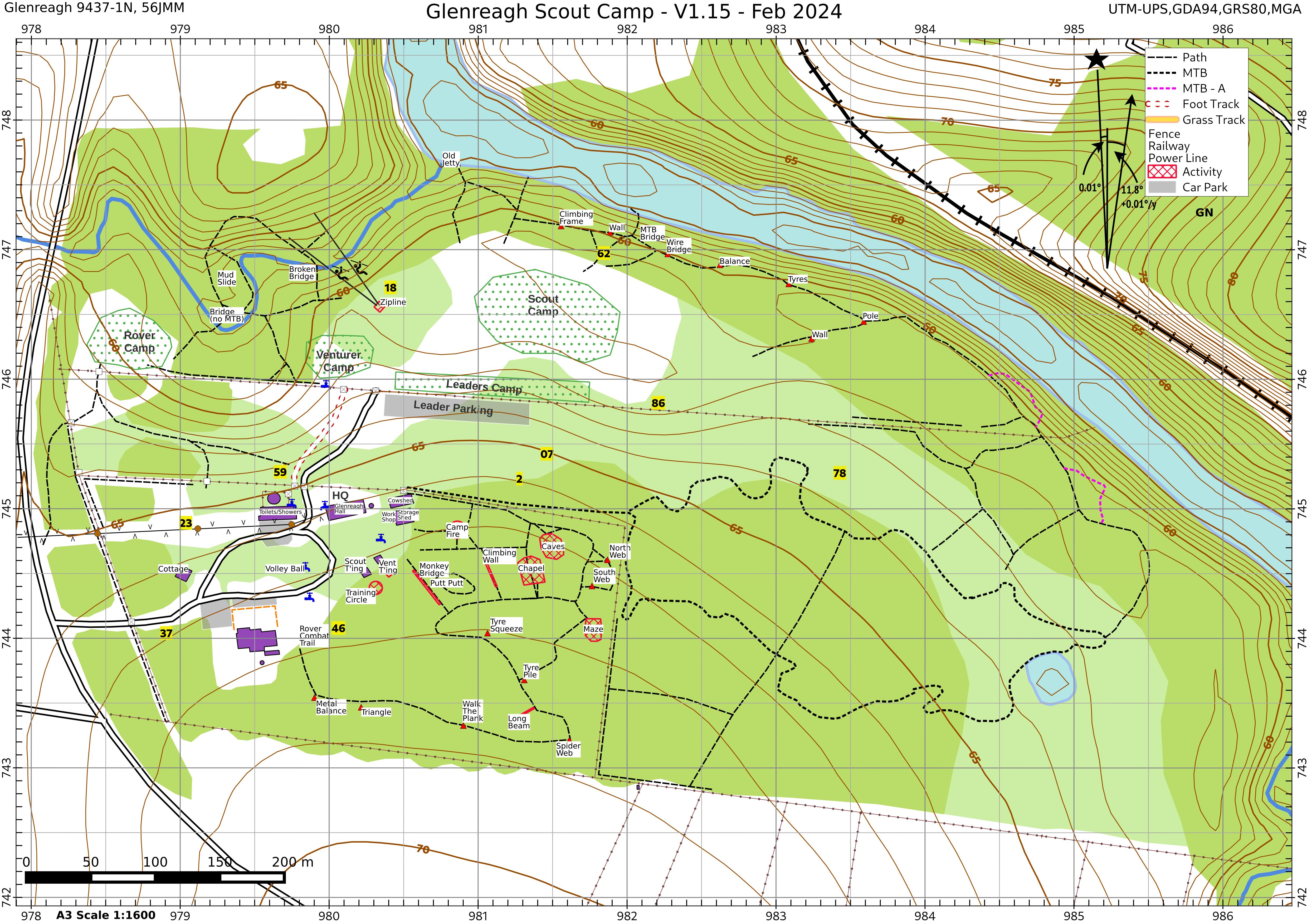
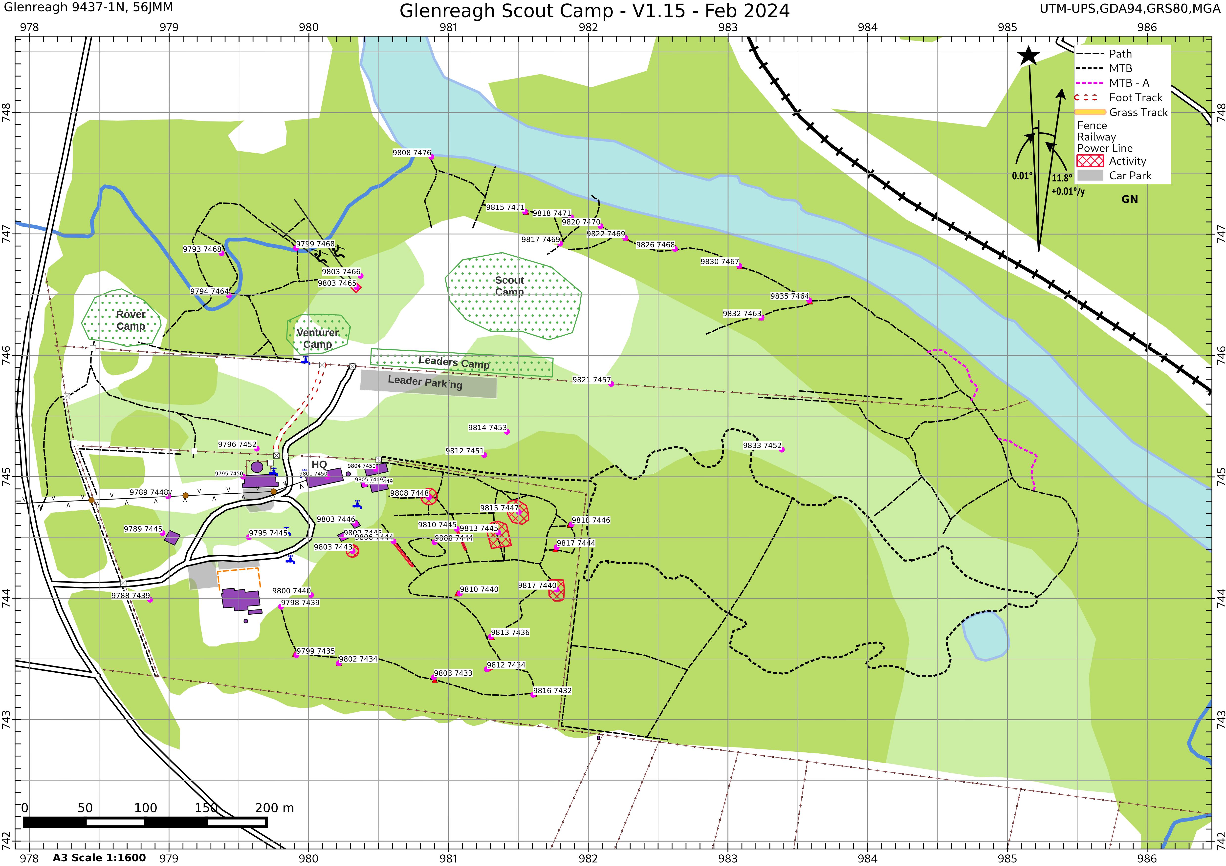
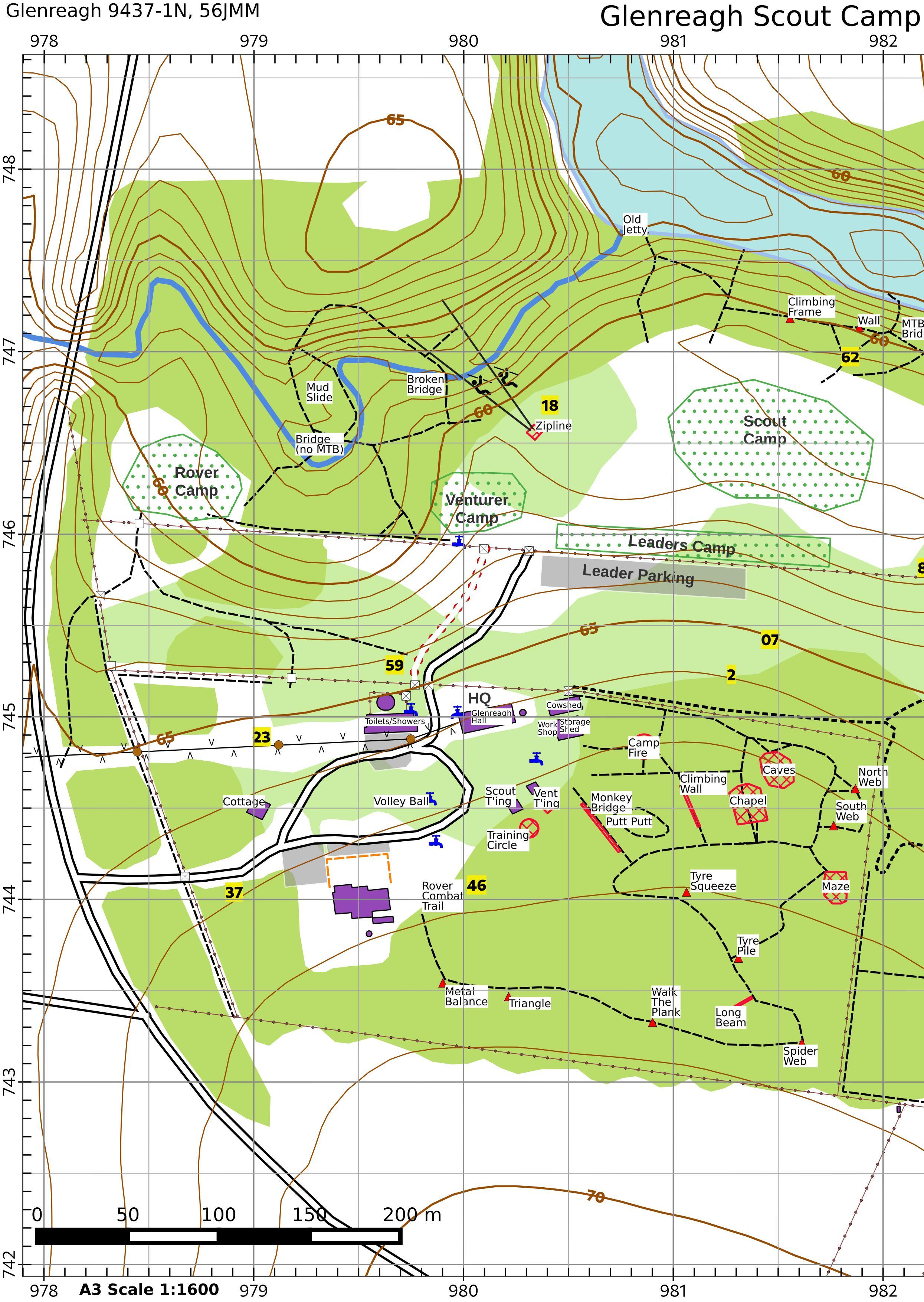
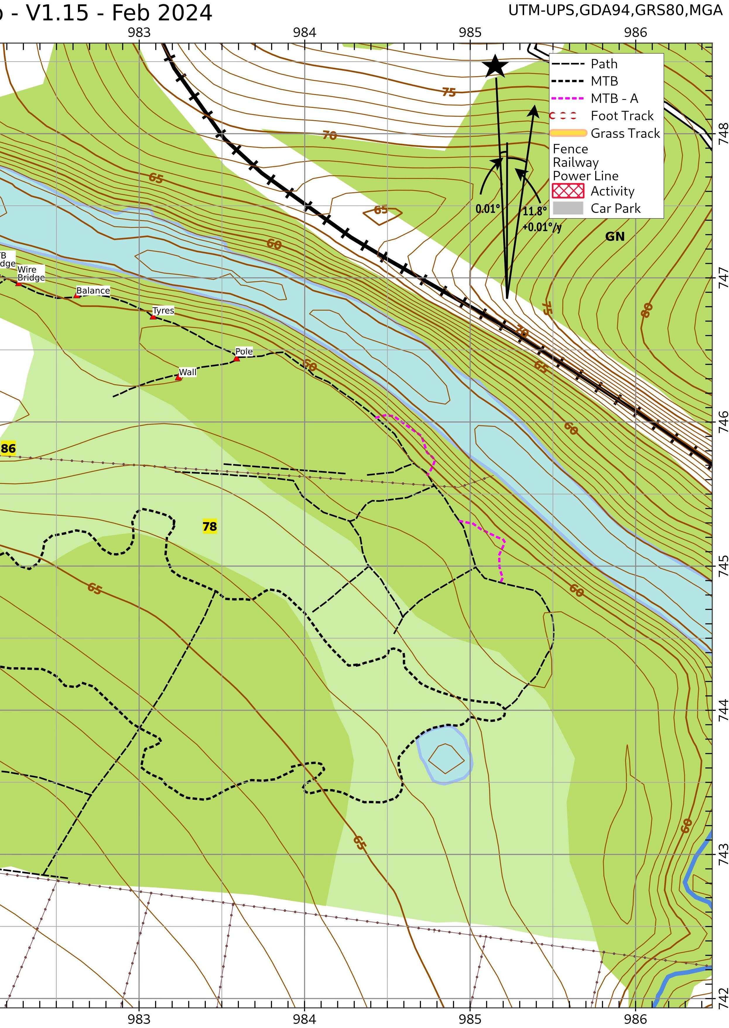
Glenreagh Scout Camp
Camp Eagle Eye at Glenreagh, with tracks, activity bases and campsites. Print the full sheet on A3, or the two halves on A4.
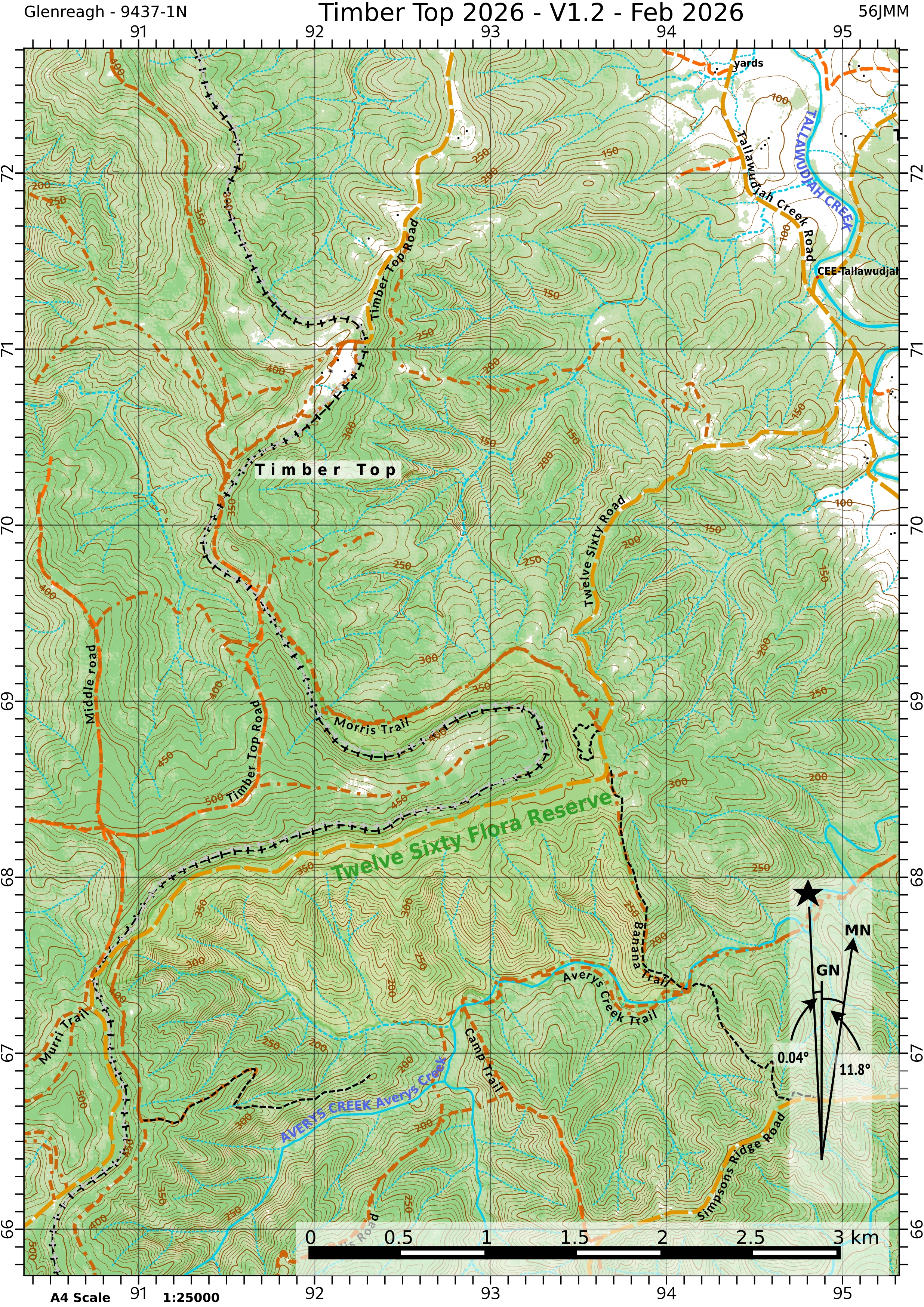
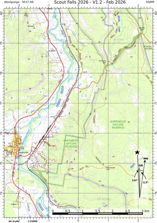
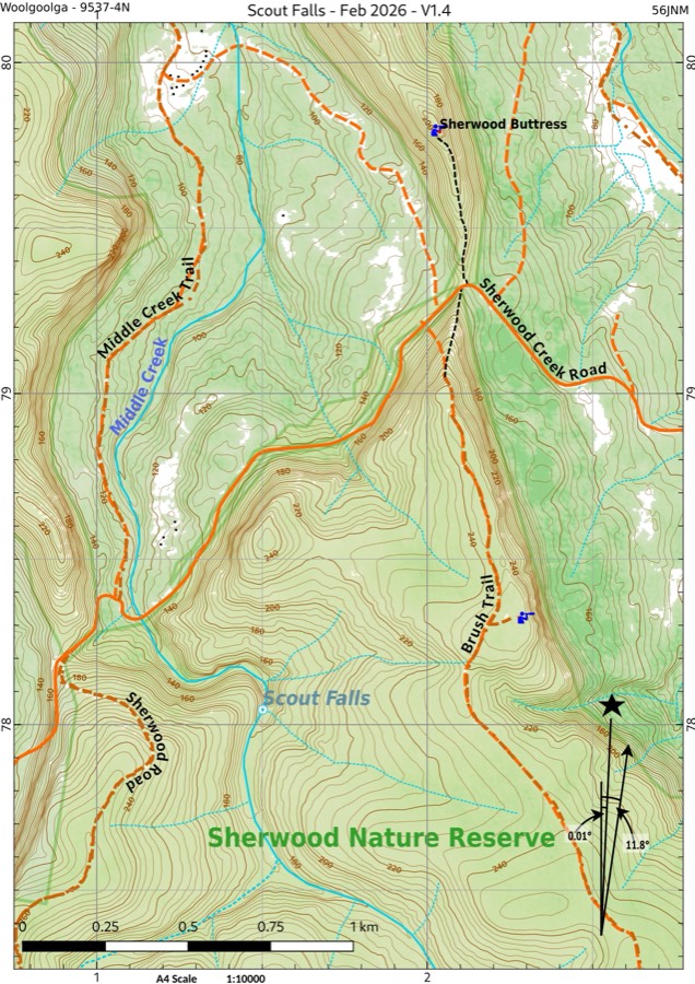
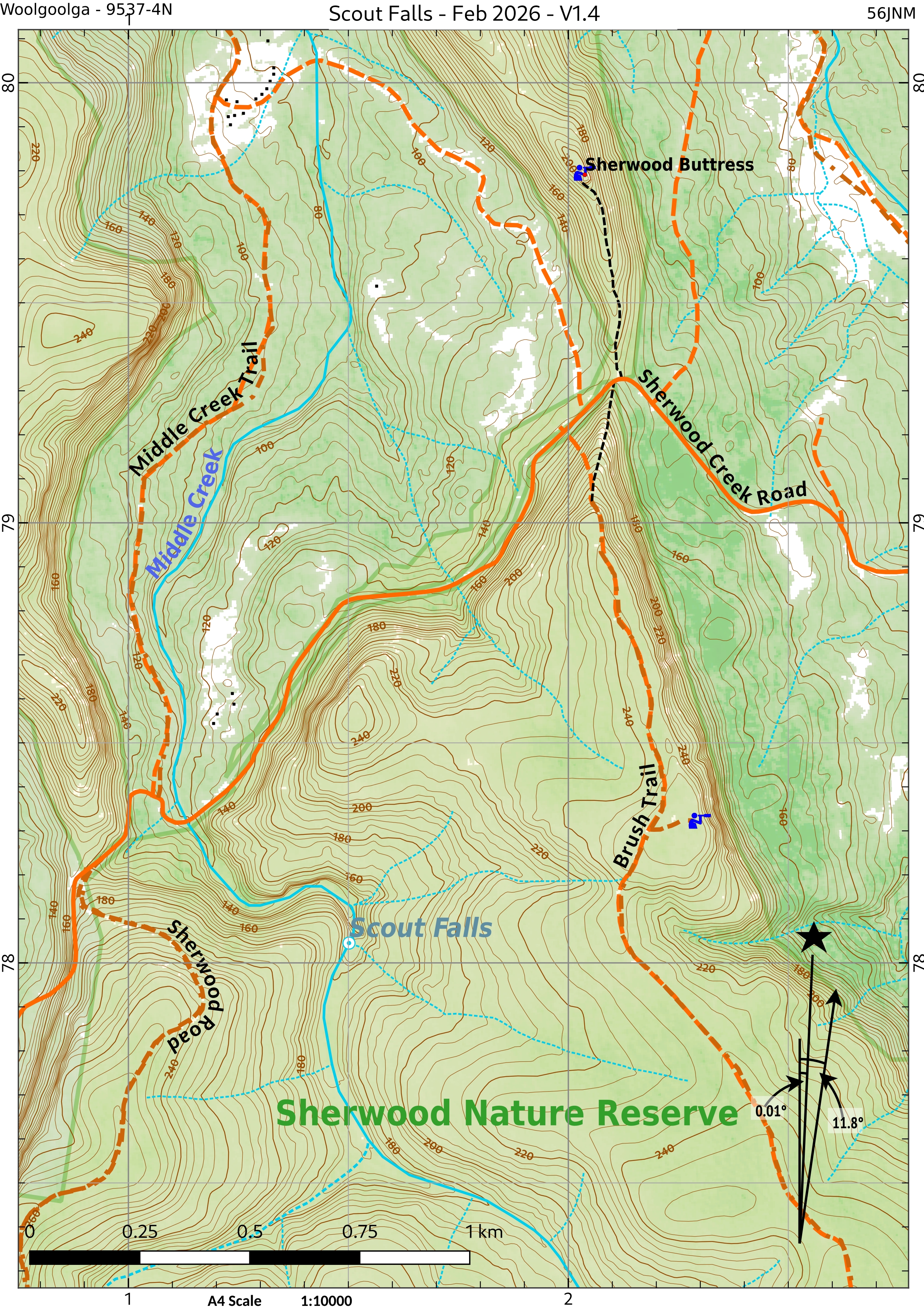
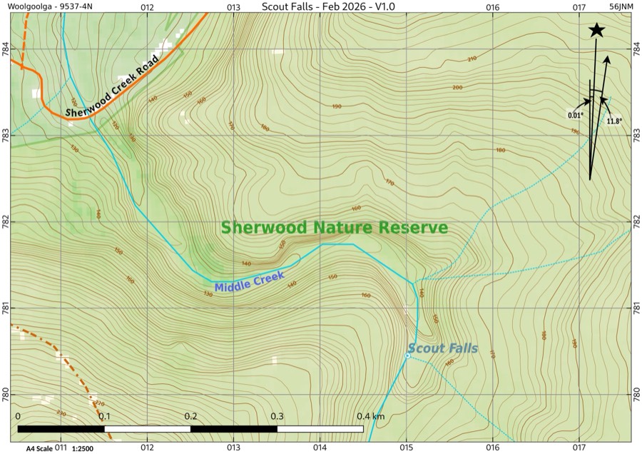
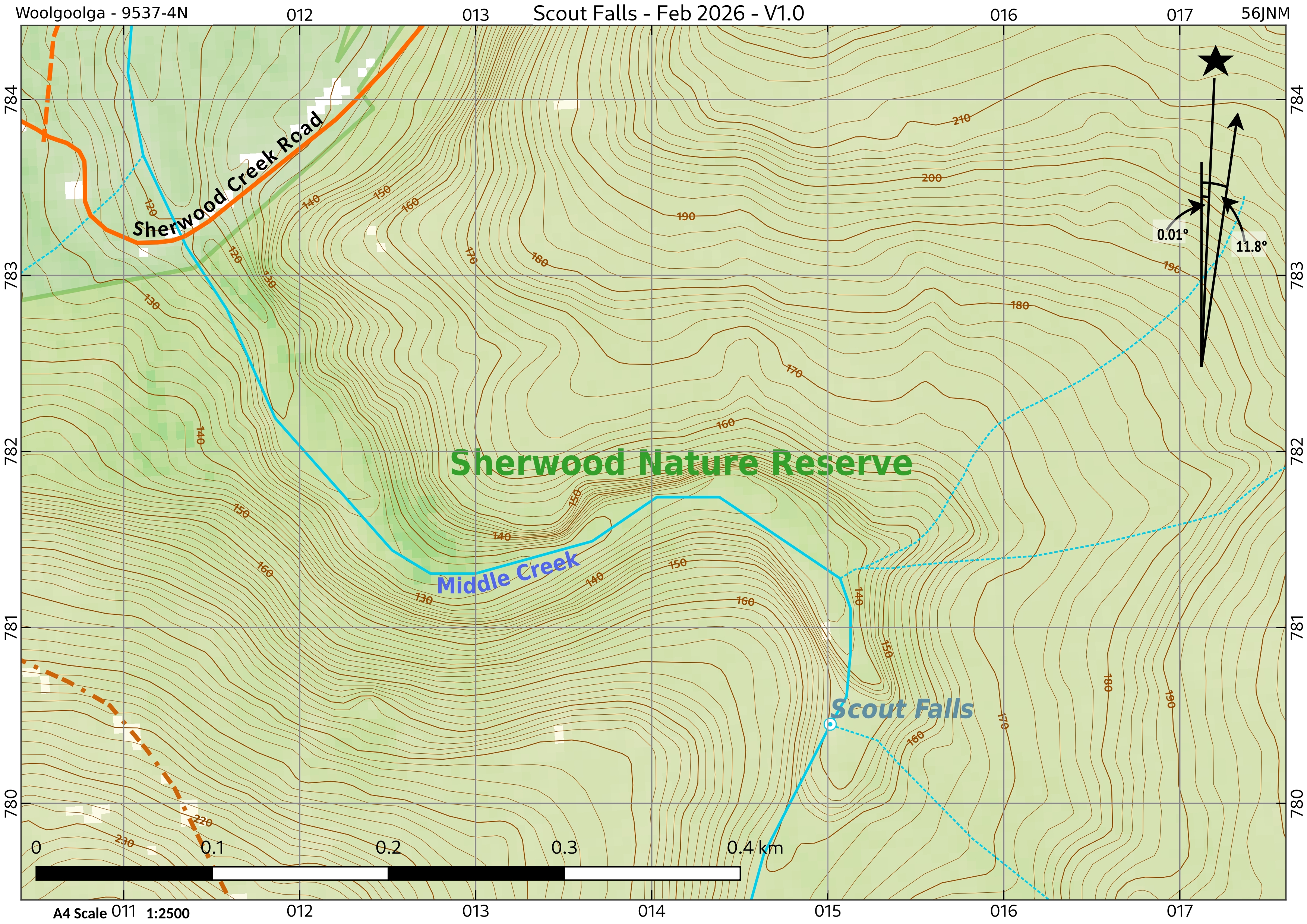
Scout Falls
Three scales, from the wider area down to the falls themselves.
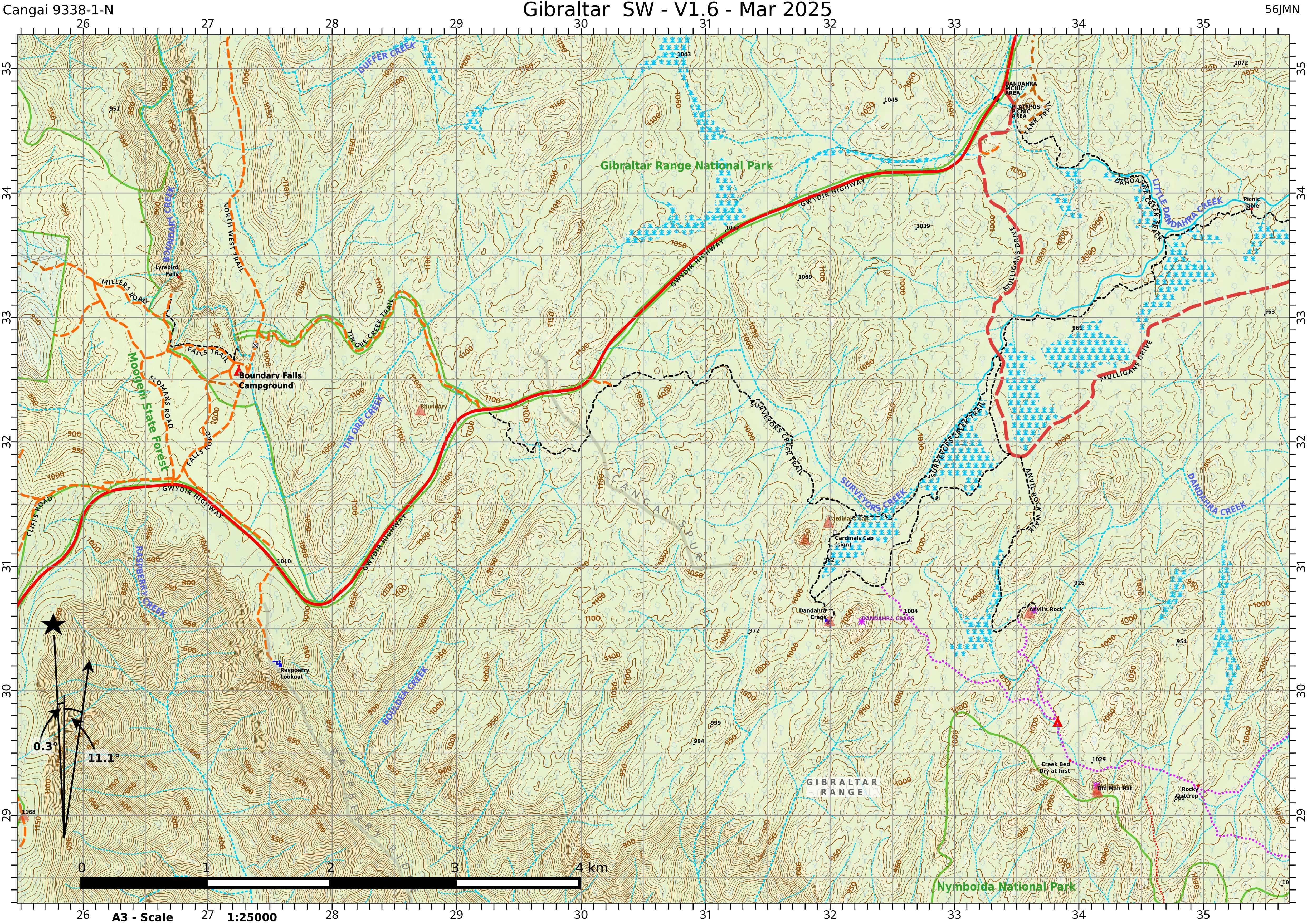
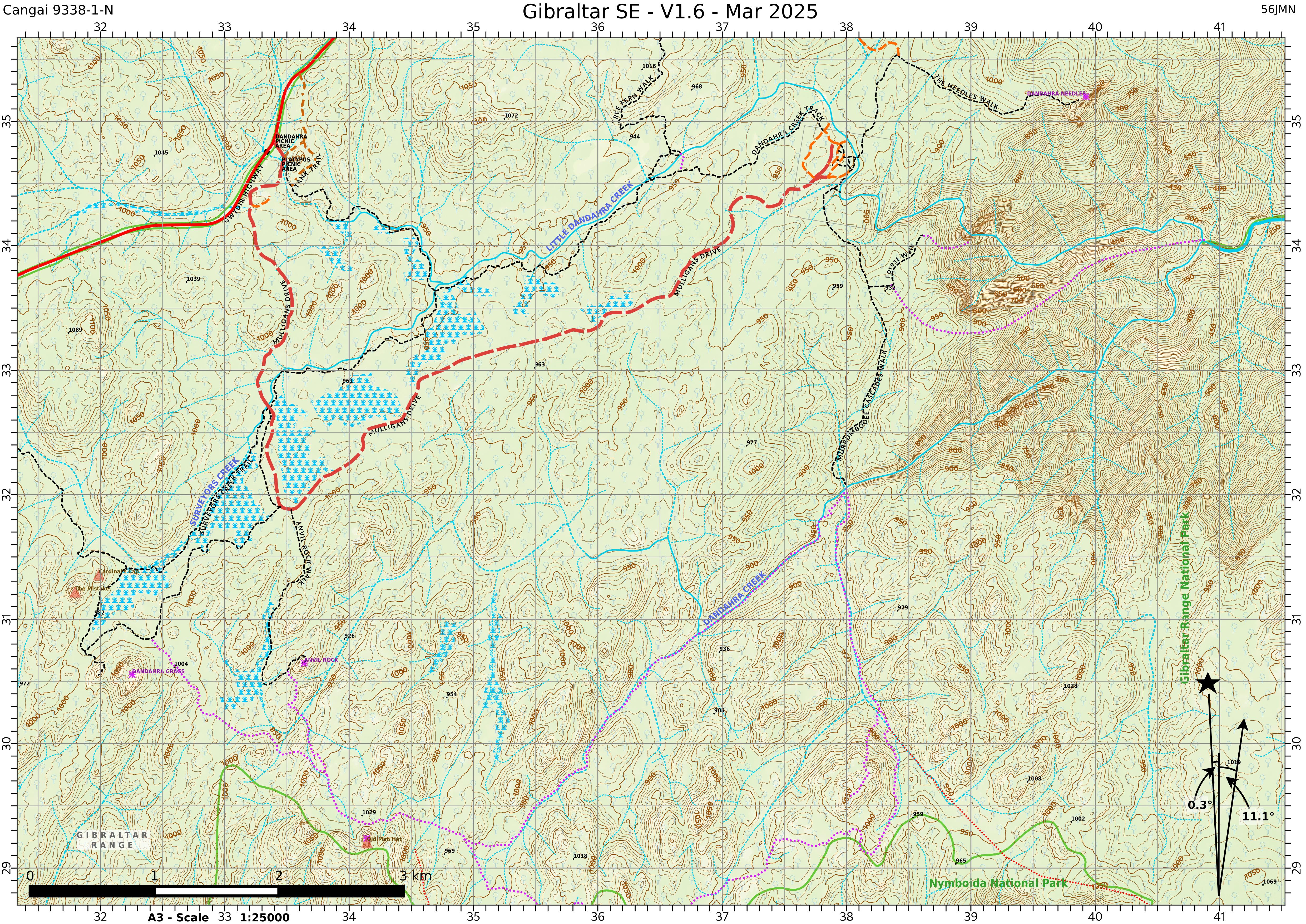
Gibraltar Range & Washpool
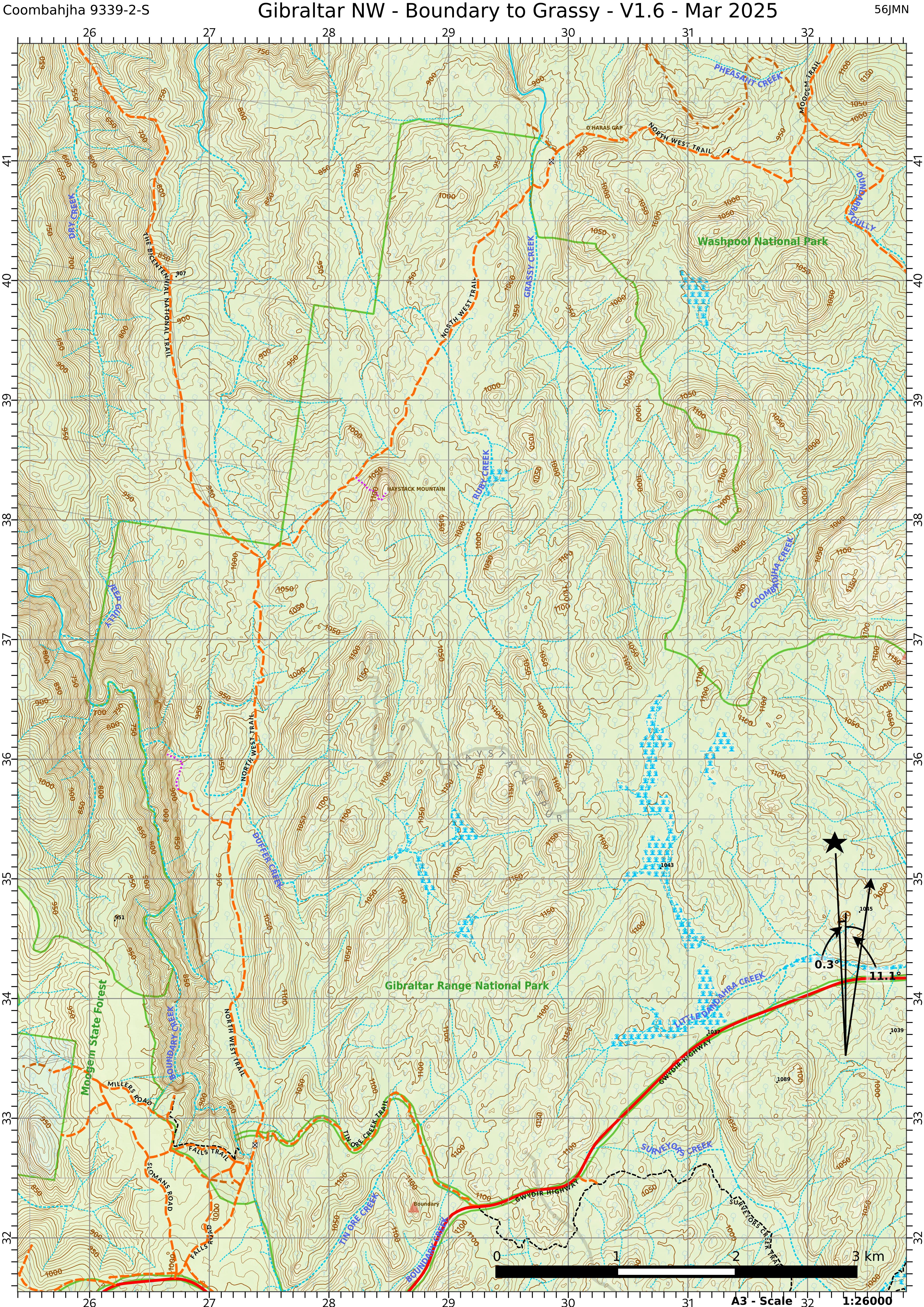
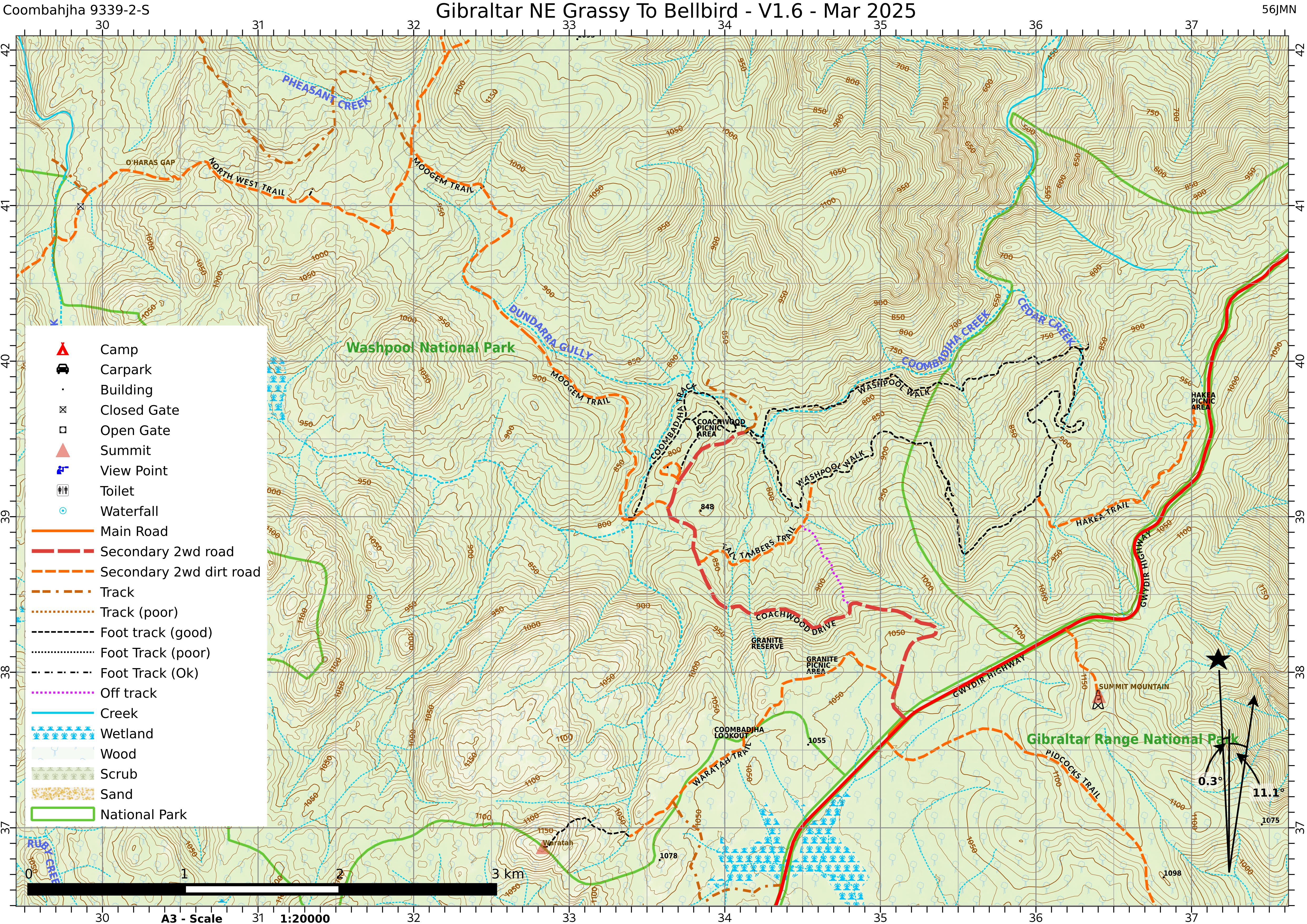
Four A3 sheets covering Gibraltar Range and Washpool National Parks.
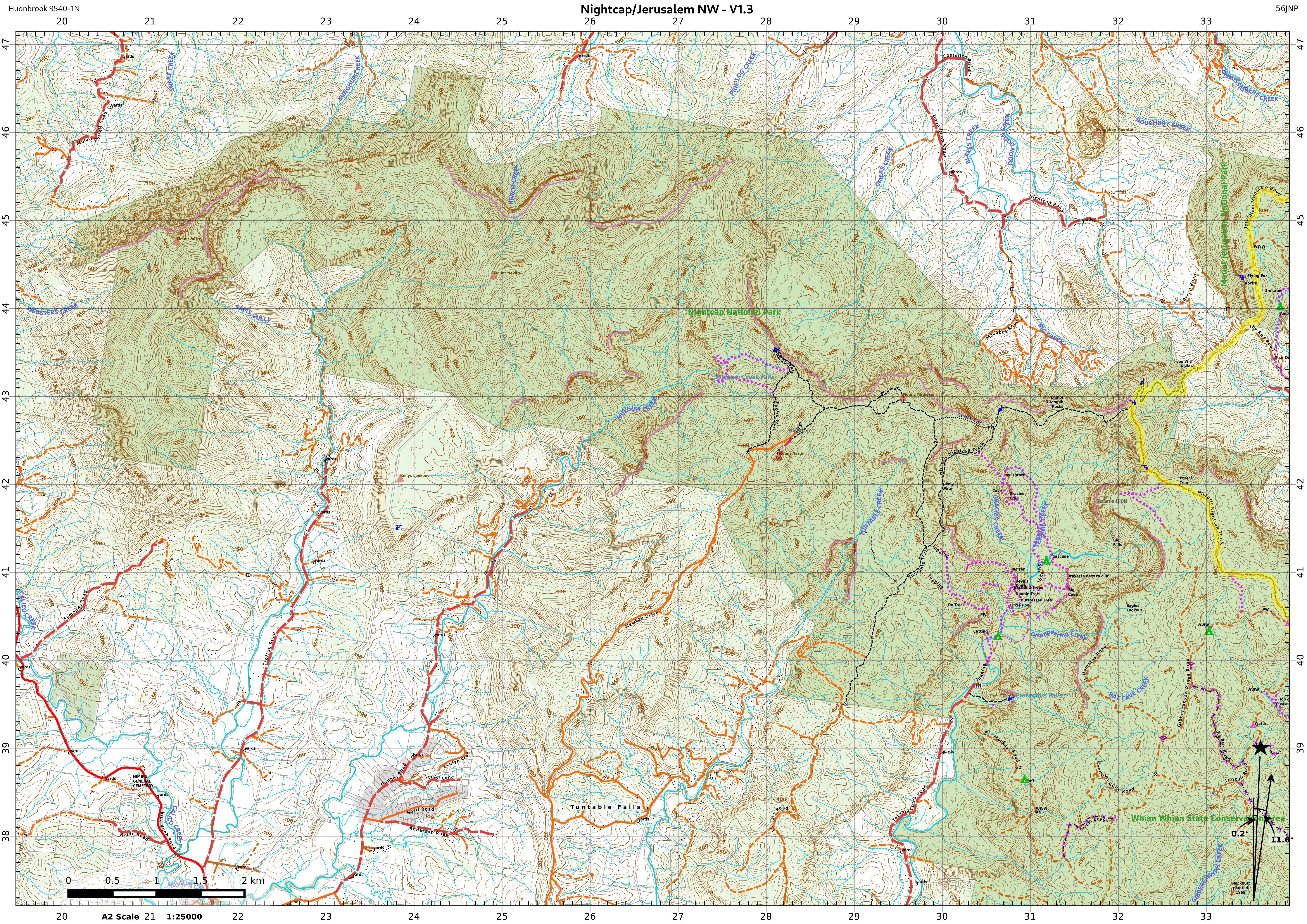
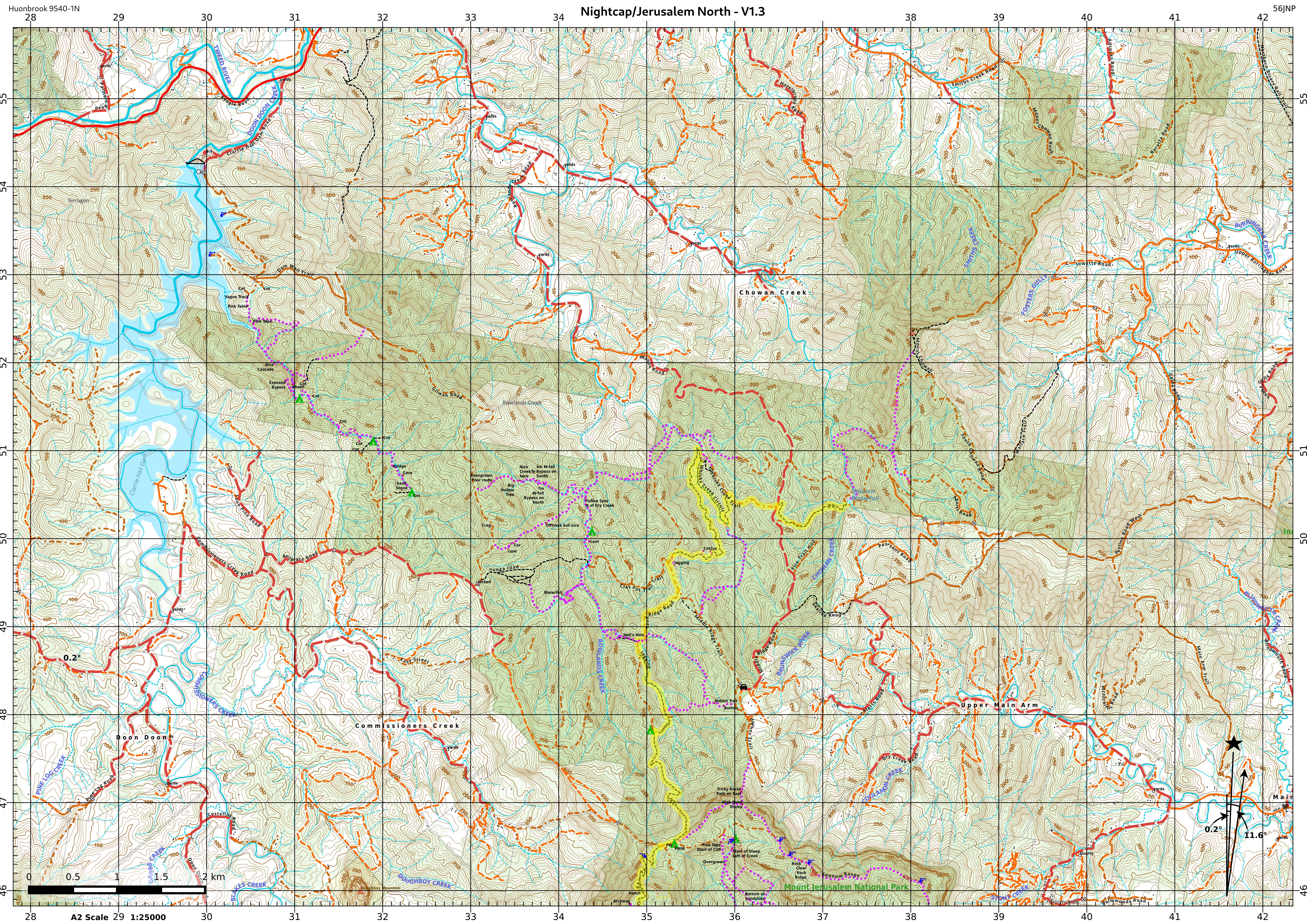
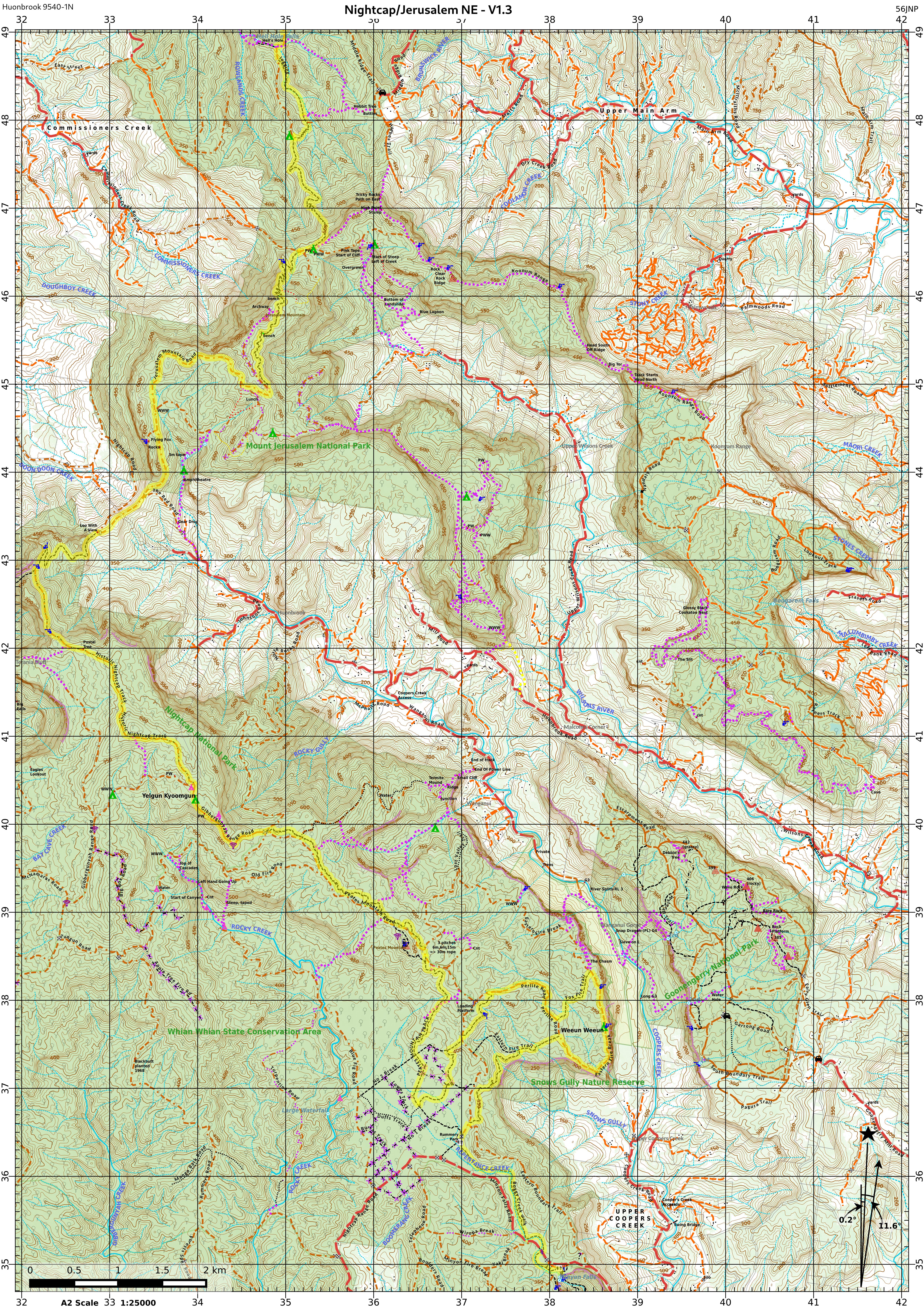
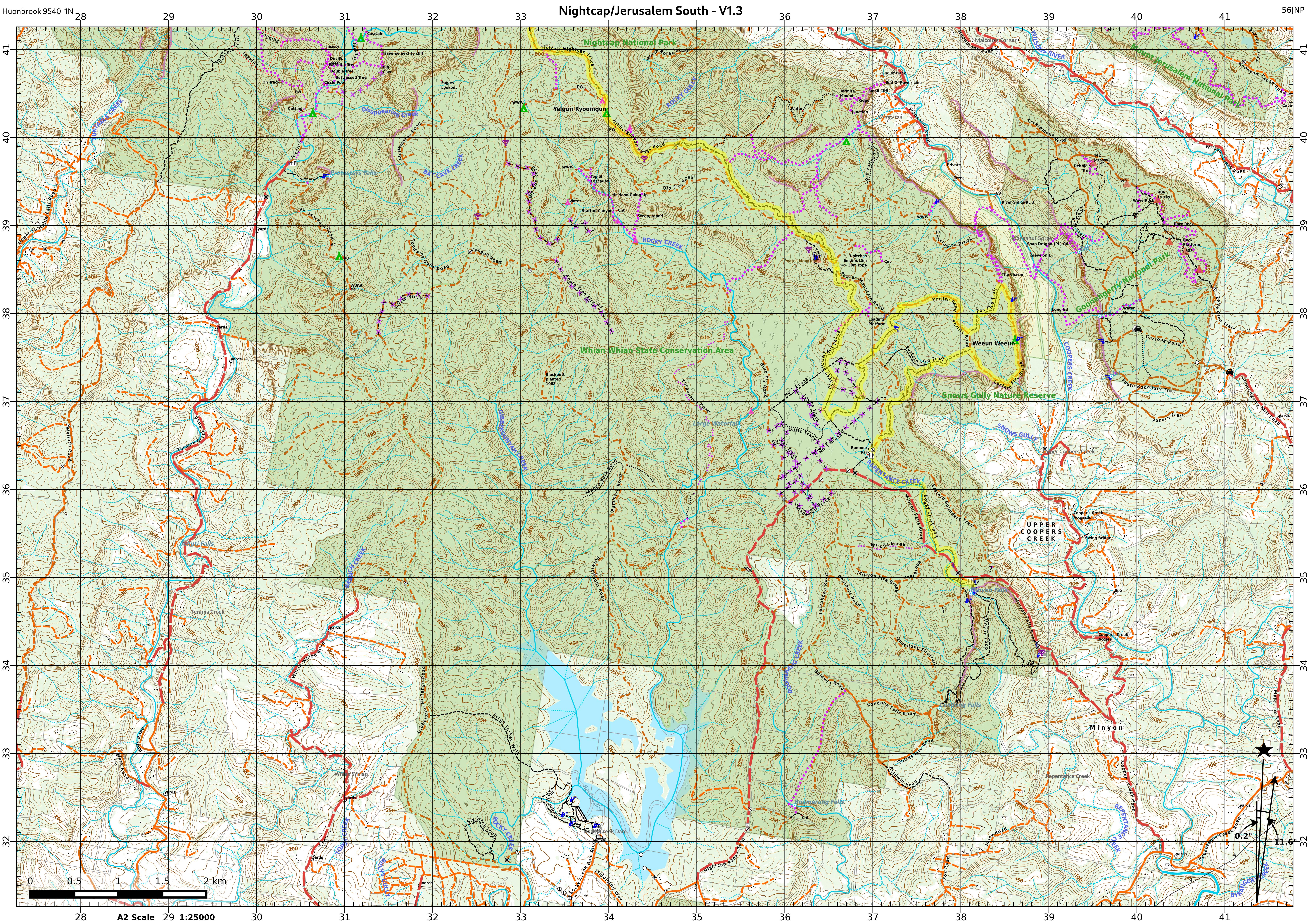
Nightcap & Jerusalem / Gidjuum Gulganyi
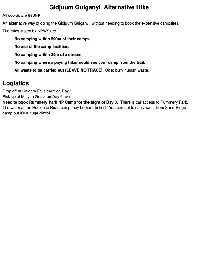
Four large A2 sheets for Nightcap National Park and Jerusalem, plus an alternative route for the Gidjuum Gulganyi walk with a GPX track for your GPS or phone.
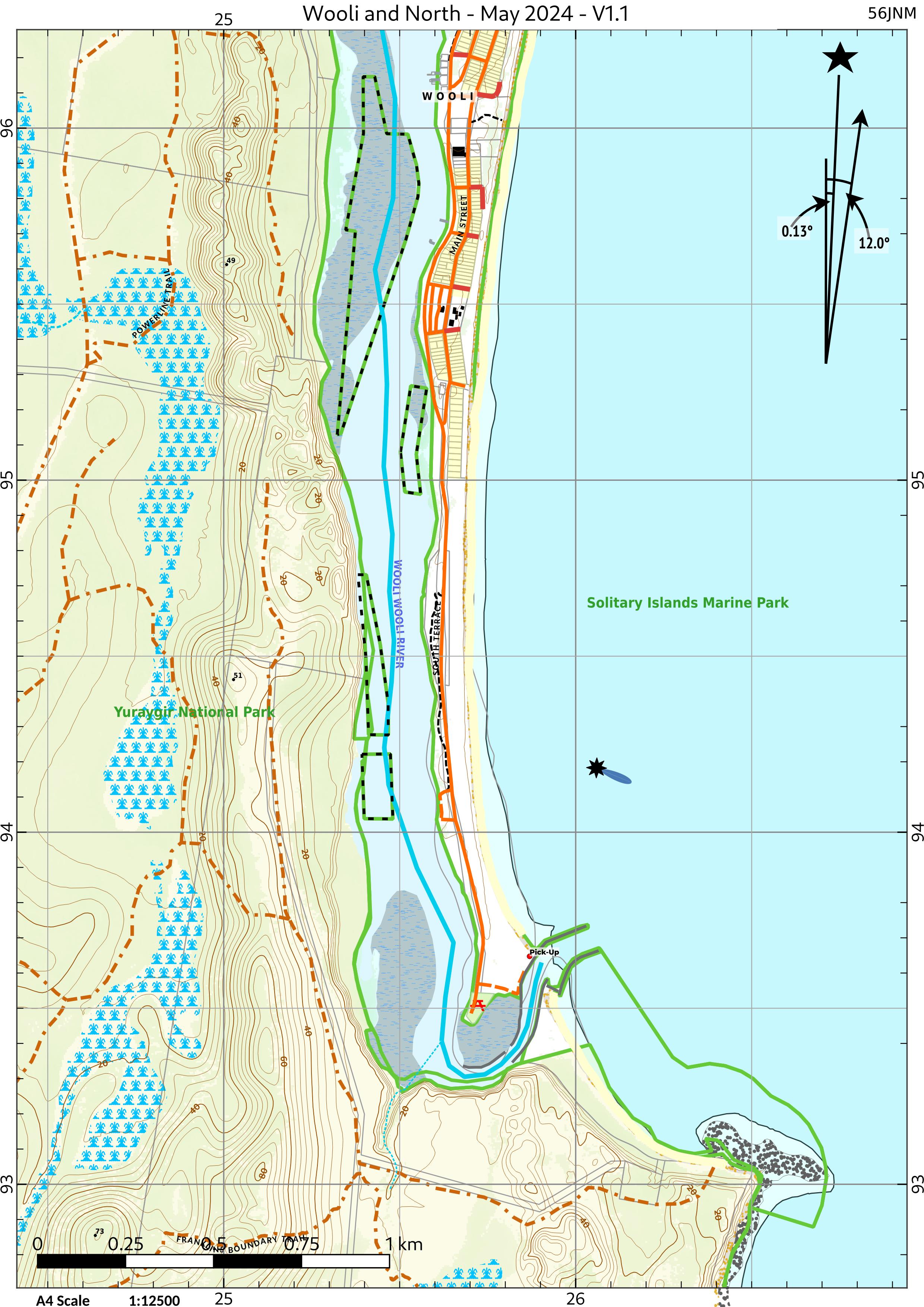
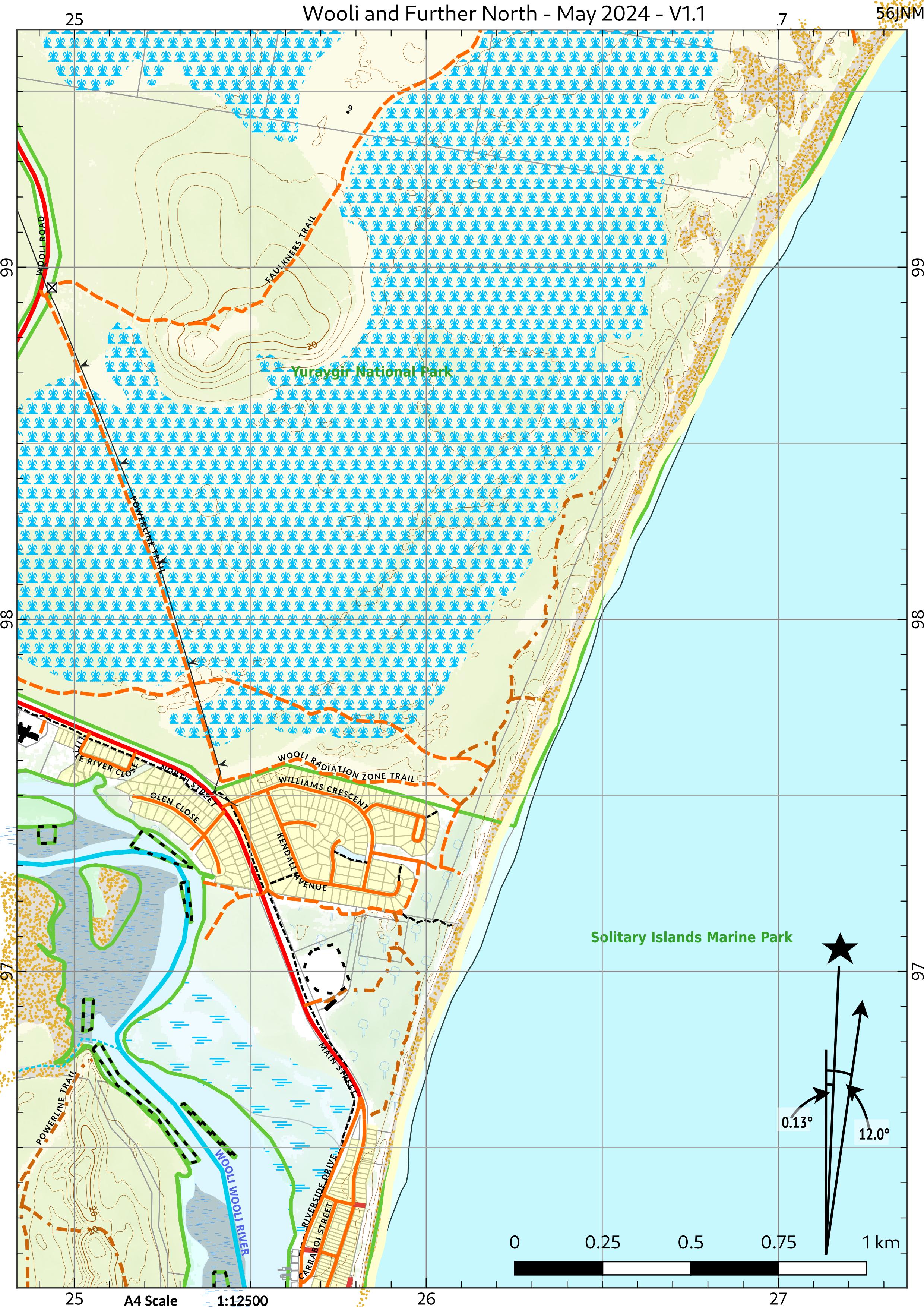
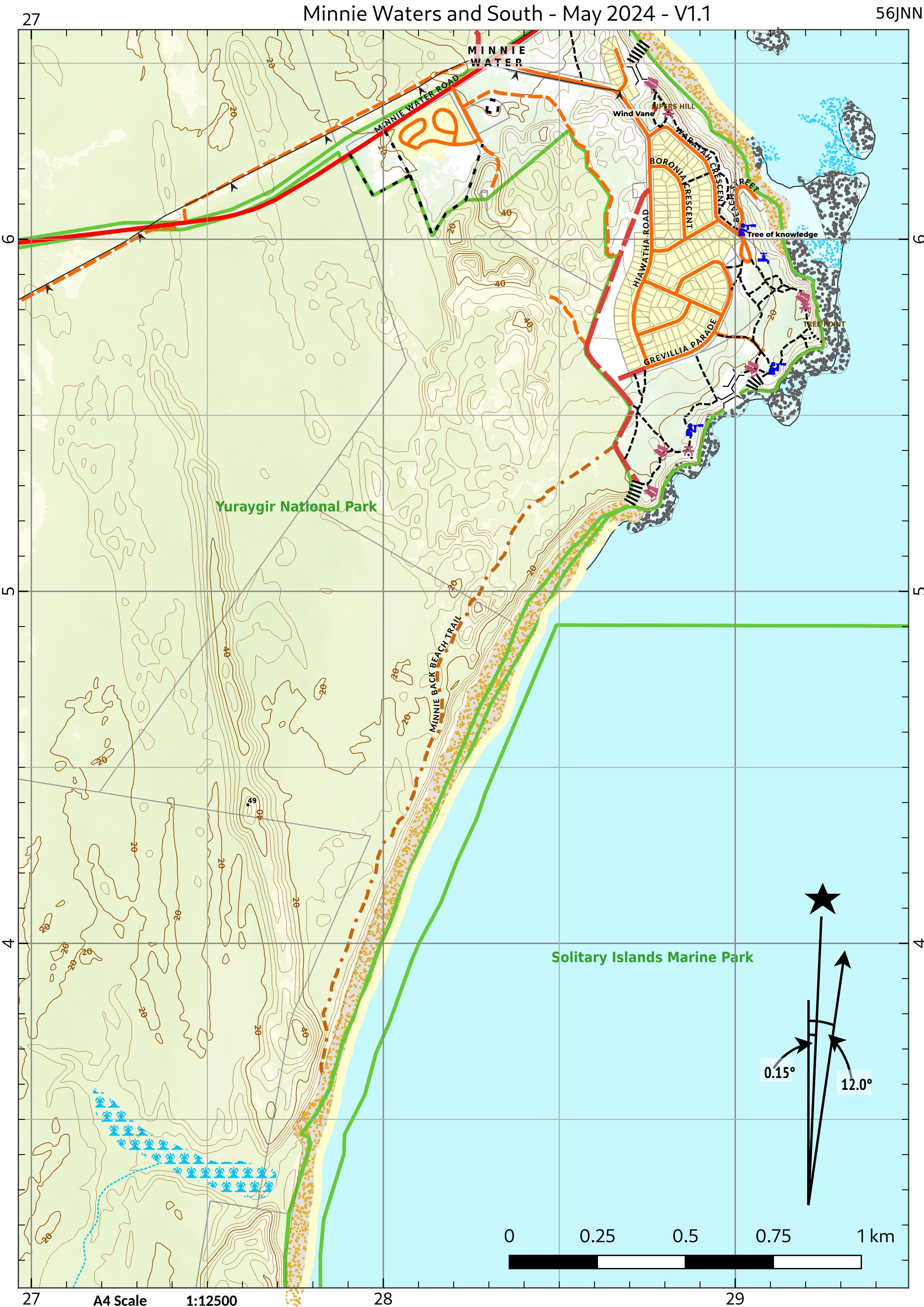
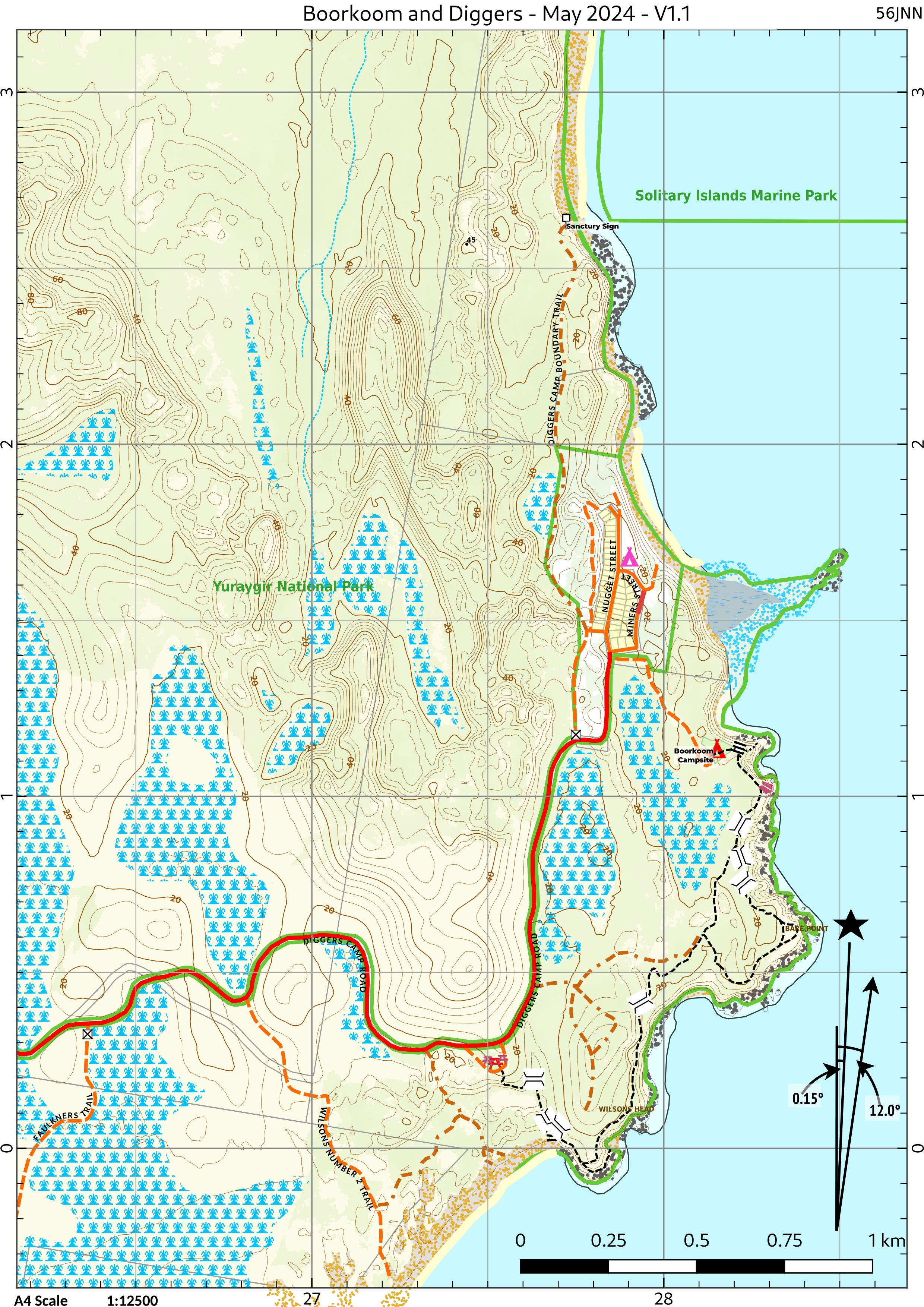
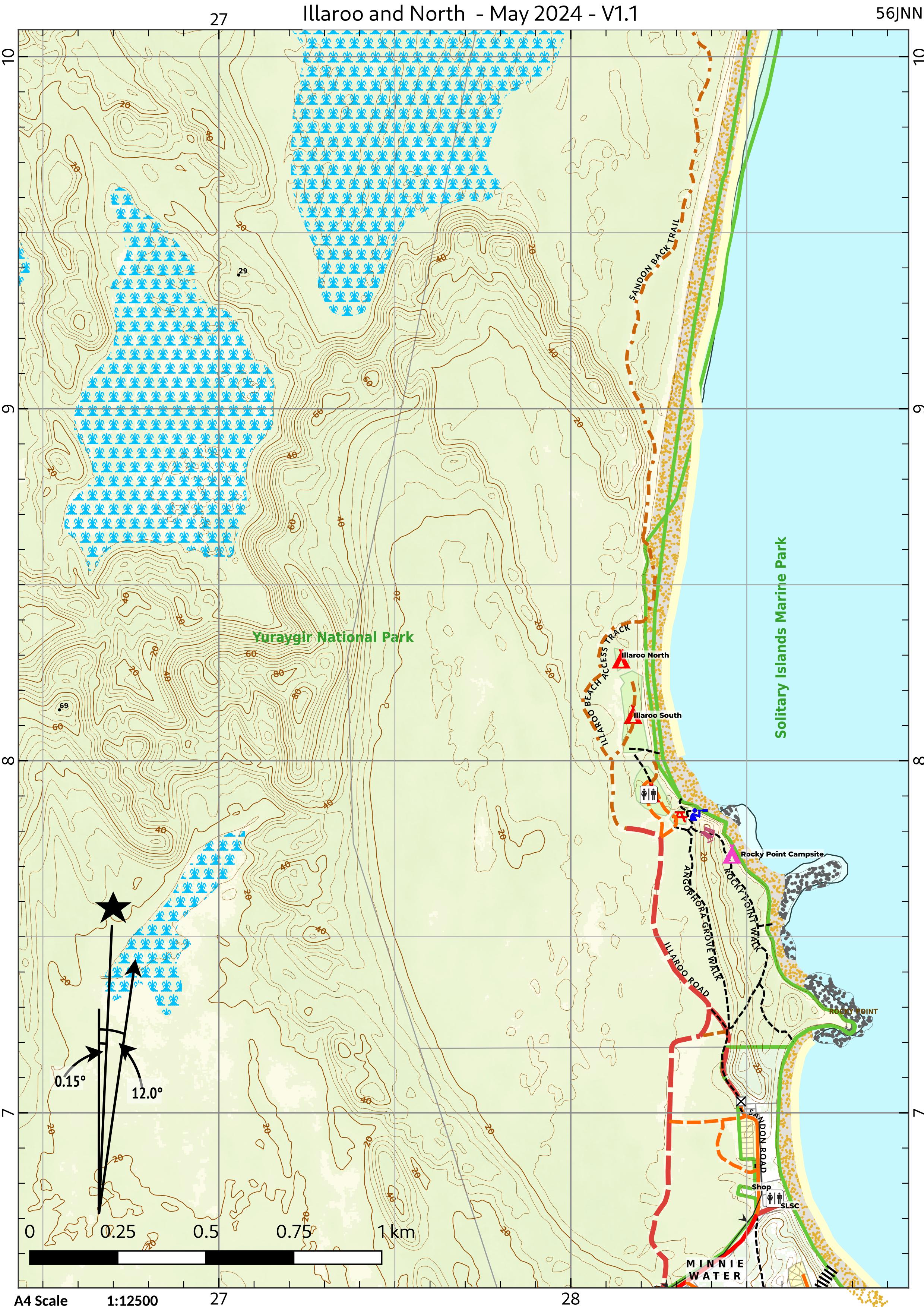
Yuraygir coastal walk
Five A4 sheets along the Yuraygir National Park coast.
Always carry a current map and compass, check park alerts and fire danger before you go, and lodge your activity notification as usual. Spotted something out of date? Let us know.